Our Services
Professional, FAA-certified drone services built around your needs.
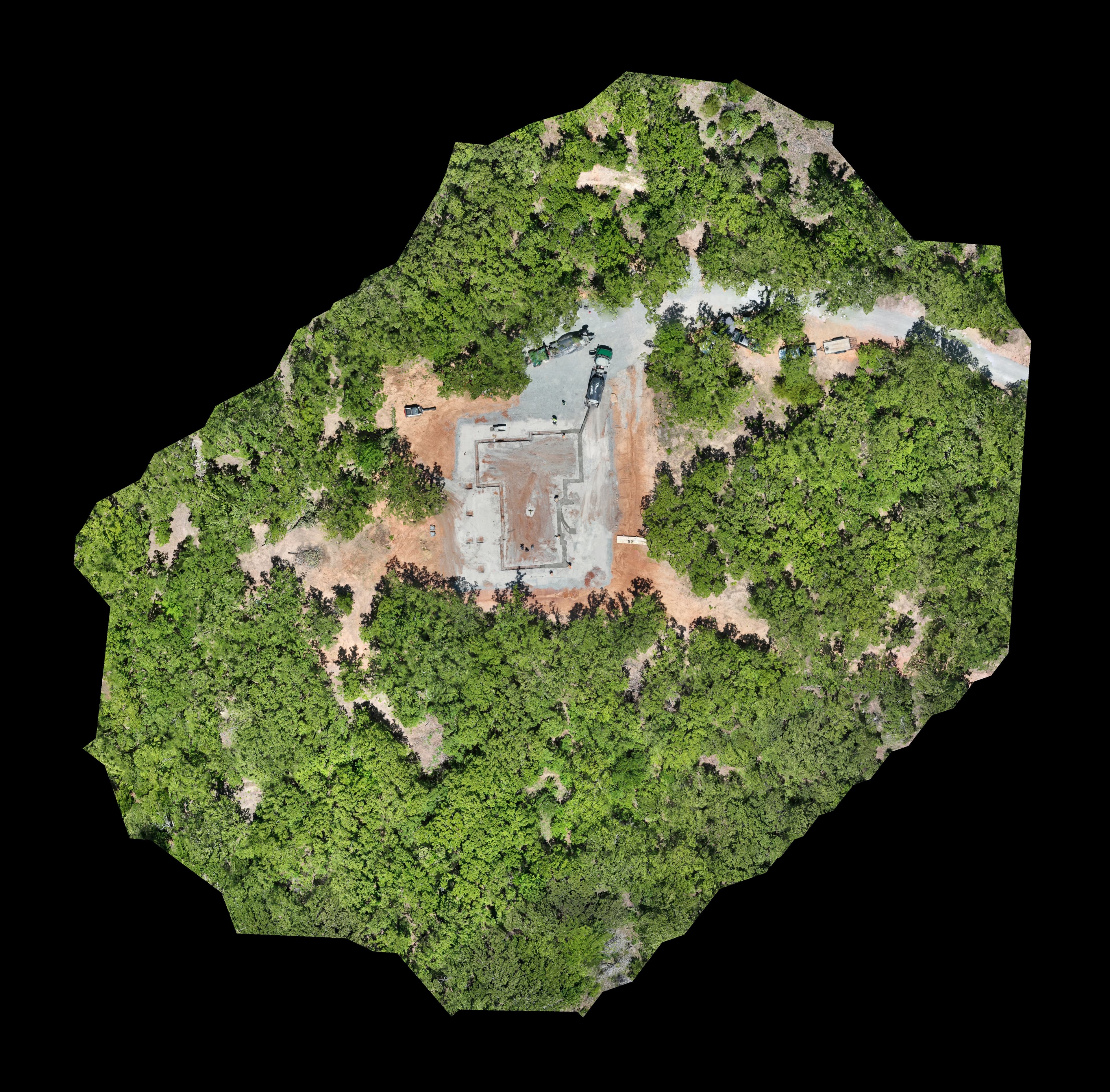
Aerial Mapping
From topographic surveys to construction progress documentation, our aerial mapping services give you the precise, data-driven overhead view you need. We generate detailed orthomosaic maps, 3D point clouds, and elevation models tailored to agriculture, land development, and commercial projects.
- High-resolution topographic surveys
- Construction progress documentation
- Land boundary and acreage assessment
- Agricultural field analysis
- GIS-compatible deliverables
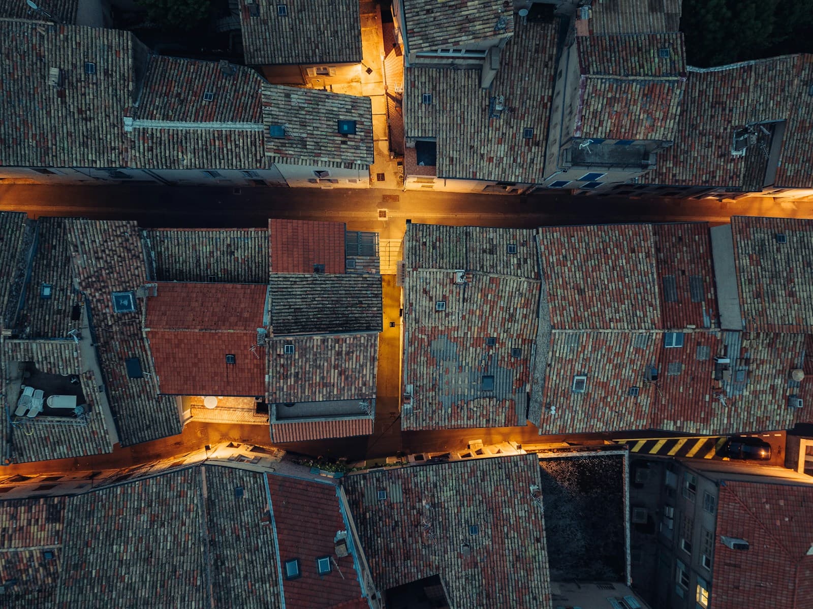
Roofing Inspections
Skip the ladders and the liability. Our drone roof inspections deliver comprehensive, high-resolution imagery of every square foot of your roof — ideal for insurance claims, pre-purchase assessments, storm damage documentation, and routine maintenance checks.
- Full-coverage roof imagery — no blind spots
- Insurance claim documentation
- Storm and hail damage assessment
- Pre-purchase and pre-listing inspections
- Fast turnaround on detailed reports
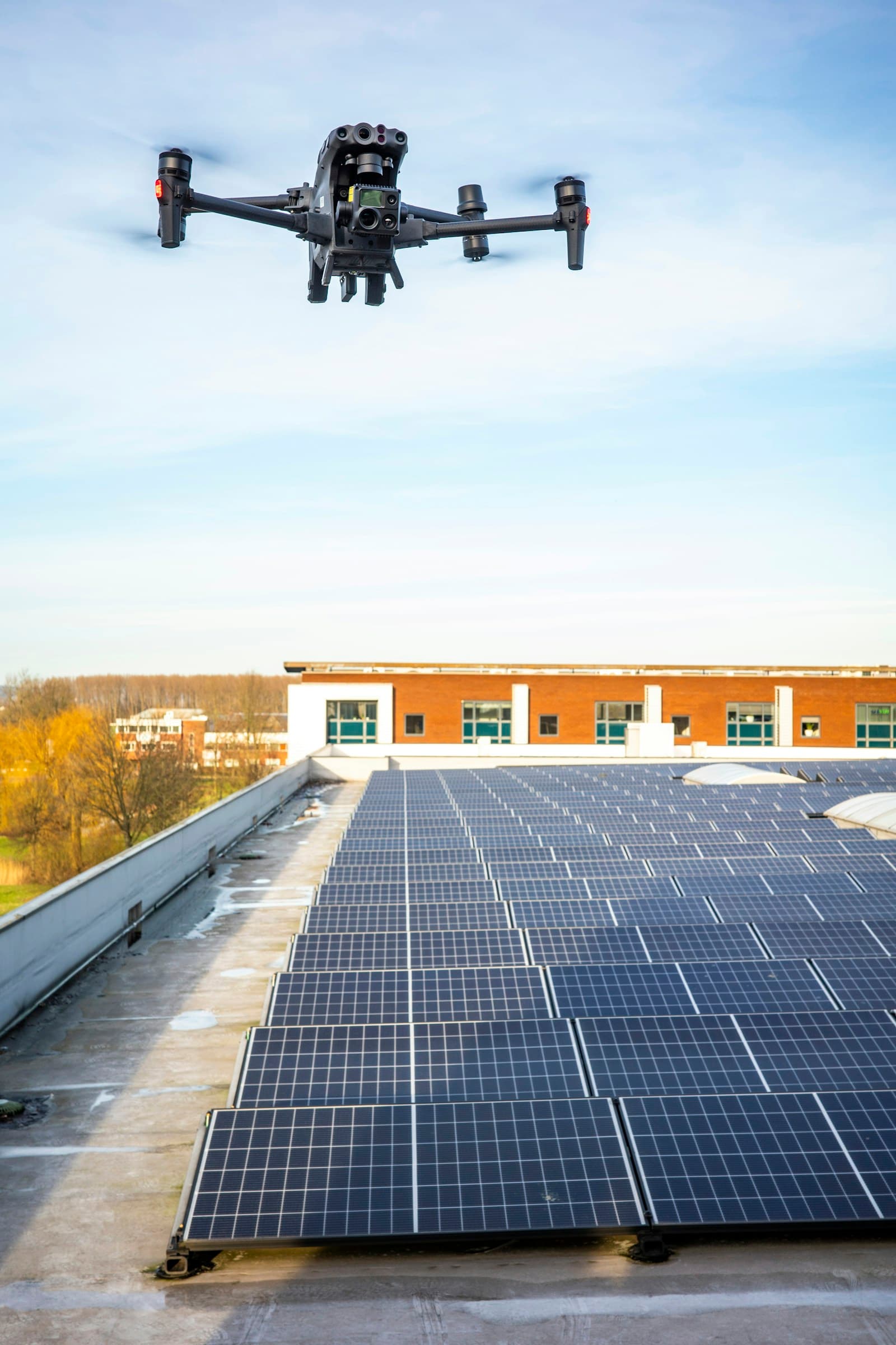
Thermal Services
Our thermal drone imaging uncovers what the naked eye can't see. Detect hidden moisture intrusion, heat loss through insulation gaps, electrical hot spots, solar panel inefficiencies, and HVAC leaks — quickly and non-invasively.
- Building envelope heat loss detection
- Moisture and water intrusion mapping
- Solar panel performance analysis
- Electrical and mechanical hot spot identification
- Energy audit support for commercial properties
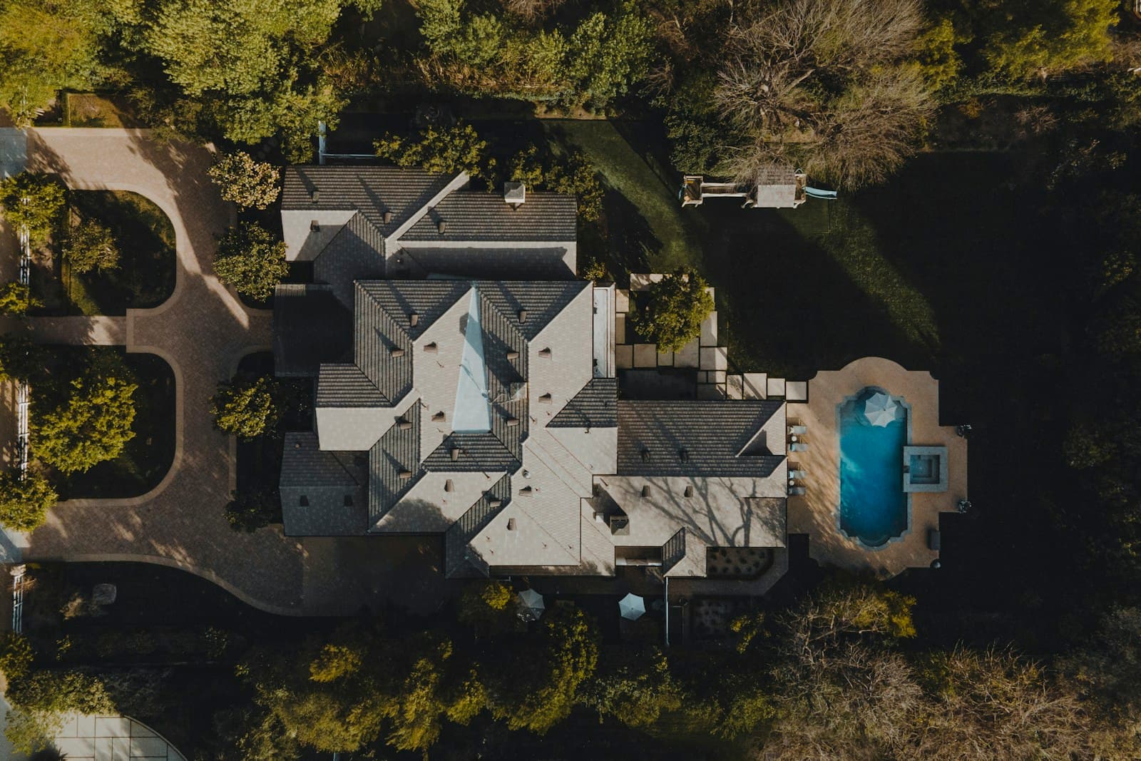
Real Estate & 360 Walkthrough
Make your listings stand out with stunning aerial drone photography and immersive 360° virtual walkthroughs. Give buyers a complete view of the property — inside and out — before they ever step foot through the door.
- High-resolution aerial photography for listings
- Immersive 360° virtual walkthroughs
- Neighborhood and lot overview shots
- twilight and golden hour aerial sessions
- Fast turnaround for active listings

Thermal Hog Tracking
Using thermal drone technology, we locate and track feral hog activity across your property at night — when hogs are most active. Our drone pinpoints heat signatures across large areas fast, giving you real-time intel on hog locations and movement patterns.
- Nighttime thermal scanning for heat signatures
- Cover hundreds of acres quickly and efficiently
- Real-time hog location and movement data
- Systematic grid search patterns
- Available evenings and weekends
⚠️ RidgeLine Aerial Services provides aerial tracking and location services only. We do not provide land access, weapons, ammunition, or hunting guides. Results are not guaranteed — hog activity, terrain, and weather conditions affect detection. All hunting must comply with local laws and regulations.
Request This Service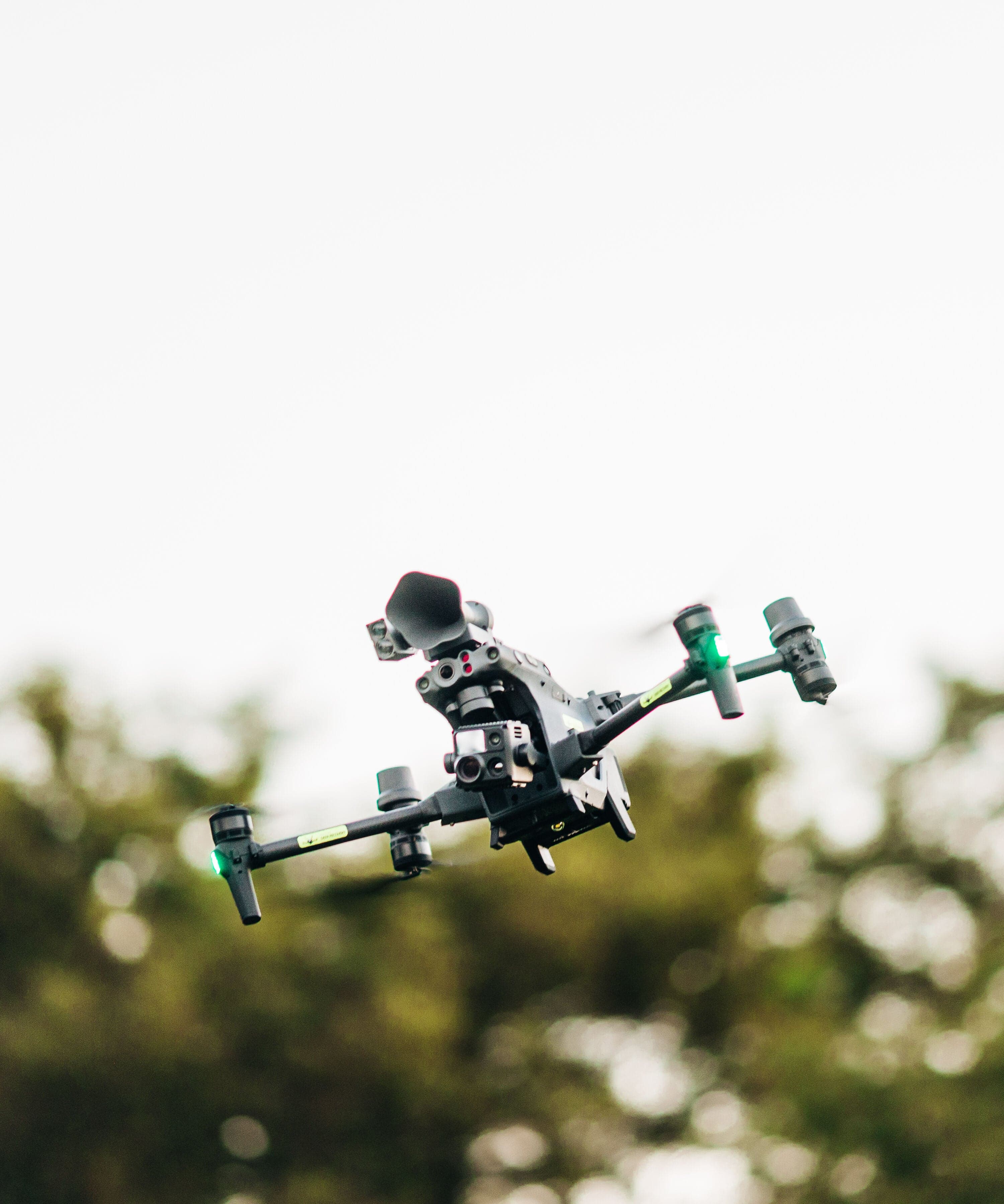
Deer Recovery
When a successful harvest ends with a difficult recovery, RidgeLine Aerial is there. Using thermal drone imaging, we scan large areas quickly and efficiently — even in darkness — to locate downed deer and get you back to the truck faster.
- Thermal heat signature detection after dark
- Covers large acreage in a fraction of the time
- Systematic grid search patterns
- Available evenings and weekends
- Serving hunters across Oklahoma and surrounding states
Ready to see your property from above?
Get a free quote today — we serve Oklahoma and surrounding states including Kansas, Missouri, Arkansas, Texas, New Mexico & Colorado.