See More. Know More. Act Faster.
Professional drone services across Oklahoma and surrounding states — delivering precision aerial data for inspections, mapping, thermal analysis, and more.
What We Do
Cutting-edge drone technology tailored to your needs — from precision mapping to after-dark thermal recovery.
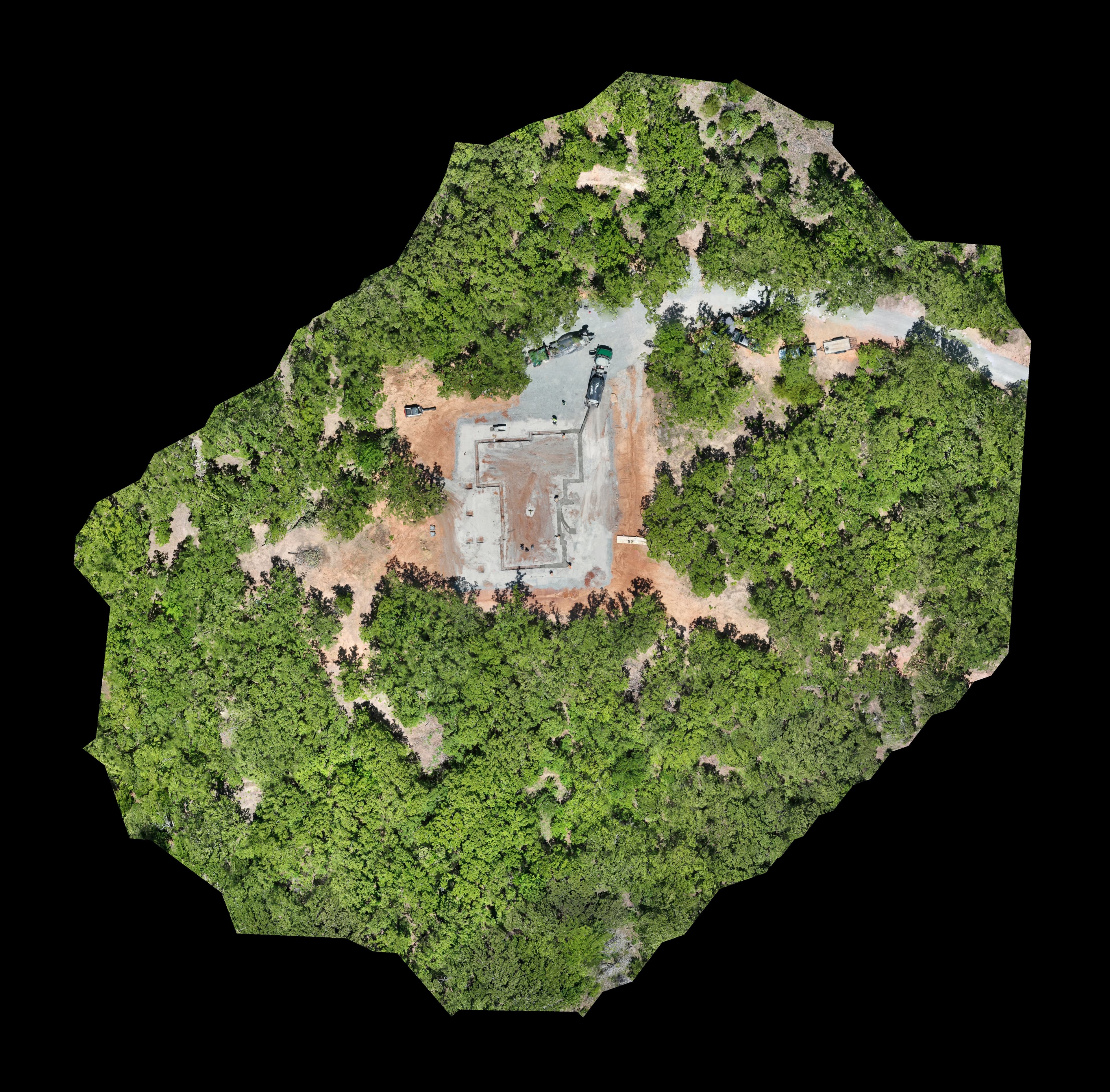
Aerial Mapping
High-resolution topographic surveys, construction progress tracking, and land assessment delivered with precision.
Learn More →
Roofing Inspections
Detailed drone roof inspections for insurance claims and damage assessments — no ladders, no risk, full coverage.
Learn More →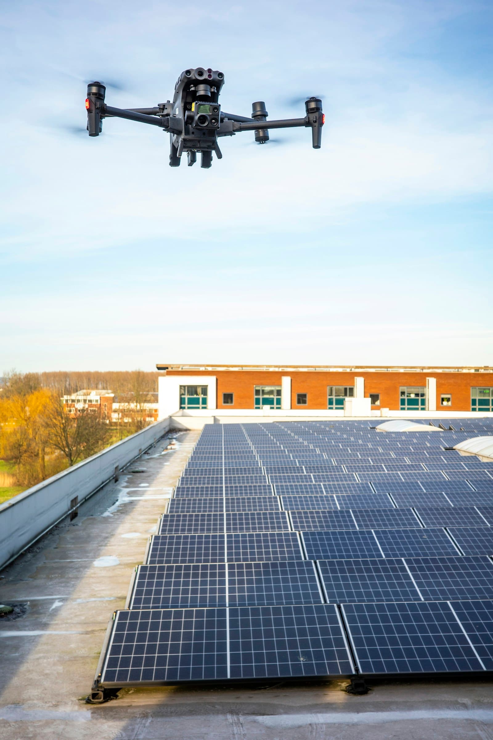
Thermal Services
Thermal imaging to detect heat loss, moisture intrusion, solar panel inefficiencies, and hidden structural issues.
Learn More →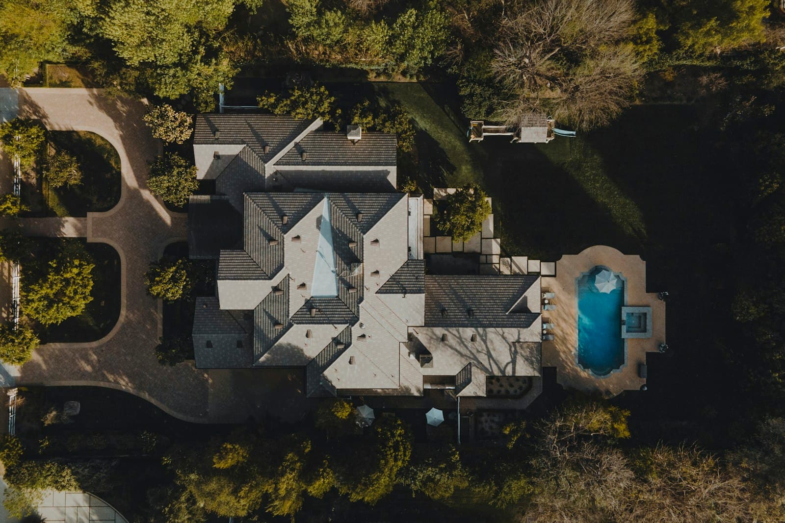
Real Estate & 360°
Stunning aerial photography and immersive 360° virtual walkthroughs that make listings sell faster.
Learn More →
Thermal Hog Tracking
Nighttime thermal drone scanning to locate and track feral hog activity across your property.
Learn More →
Deer Recovery
Efficient post-harvest deer recovery using thermal drone imaging — cover more ground faster, even after dark.
Learn More →RidgeLine Aerial Services is fully licensed, insured, and locally owned — committed to delivering precision aerial data that helps you make better decisions faster.
Ready to see your property from above?
Get a free quote today — we serve Oklahoma and surrounding states including Kansas, Missouri, Arkansas, Texas, New Mexico & Colorado.